
Bhubaneswar, Nov 14 (UDN): The possibility of a cyclonic storm developing over the Bay of Bengal has increased after a low-pressure system over the southeast Bay of Bengal intensified into a well-marked low-pressure area on Saturday, according to the India Meteorological Department (IMD).
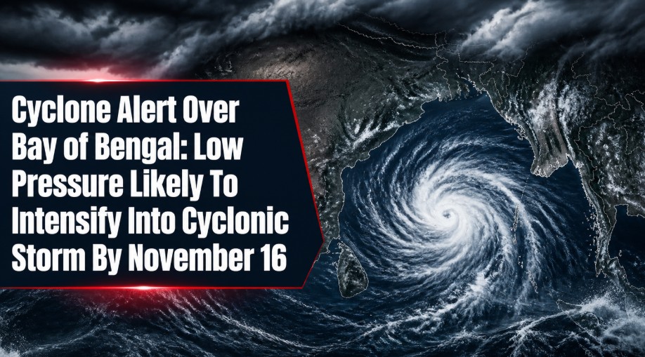
Representational Image
In its latest weather bulletin, the IMD said the system is currently positioned over the southeast Bay of Bengal, with an associated cyclonic circulation extending up to the mid-tropospheric levels.
Meteorologists have observed signs of gradual intensification, with satellite images indicating improved organisation of the cloud mass surrounding the system. Increased cloud aggregation and enhanced cloud cover near its centre suggest that the weather system is gaining strength.
Depression Likely Within 24 Hours
According to the IMD's latest forecast, the well-marked low-pressure area is very likely to intensify into a Depression within the next 24 hours.
The system is further expected to strengthen into a cyclonic storm by the evening of November 16, raising concerns over possible weather changes across parts of the Bay of Bengal region.
IMD Closely Monitoring The System
The Meteorological Department is keeping a close watch on the system's movement, intensity and possible development.
Further updates regarding its projected track, intensity and likely impact will be shared through subsequent weather bulletins.
With the system showing signs of strengthening, weather monitoring agencies are expected to maintain heightened vigilance over its subsequent development.